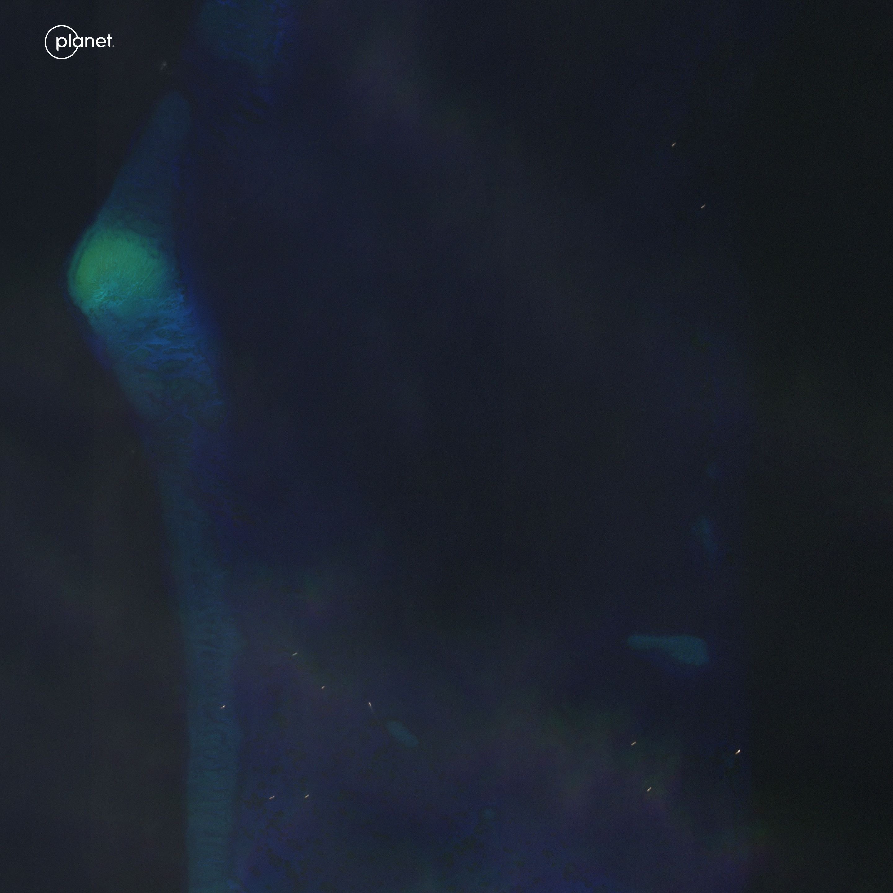
China's illegal fishing fleet at Iroquois Reef in the West Philippine Sea (images)

Over the weekend, the Armed Forces of the Philippines released video evidence that destructive activities by Chinese fishing vessels have caused extensive damage to two underwater features within the Philippines' exclusive economic zone--Iroquois (Rozul) Reef and Sabina (Escoda) Shoal.
SeaLight has documented the presence of Chinese ships at both of these West Philippine Sea features throughout the year via our Twitter/X feed, but for today let's focus especially on Iroquois Reef.
This helpful graphic from the invaluable Asia Maritime Transparency Initiative (AMTI) shows how Iroquois Reef lies a mere 125 nautical miles from the Philippine coast, northeast of the Spratly Archipelago and at the southwest edge of Reed (Recto) Bank.

The same AMTI report from which this graphic was borrowed documented how up to 30 Chinese vessels were spotted at Iroquois Reef throughout much of 2021. SeaLight has posted evidence of similar numbers throughout 2023.
For example, this post from May is representative:
Recent activity at Iroquois Reef had been even heavier, as we posted just 3 weeks ago:
Then just this past Sunday, 17 September, our imagery partners at Planet Labs provided clear visual evidence of approximately 35 probable Chinese fishing and maritime militia vessels operating at Iroquois Reef:


Under the United Nations Convention on the Law of the Sea and the 2016 Permanent Court of Arbitration ruling, a coastal state granted an exclusive economic zone enjoys the rights to the resources within that zone. China's exploitation of the marine resources at Iroquois Reef is therefore not only highly destructive of the marine ecosystem, but also illegal under international law.


